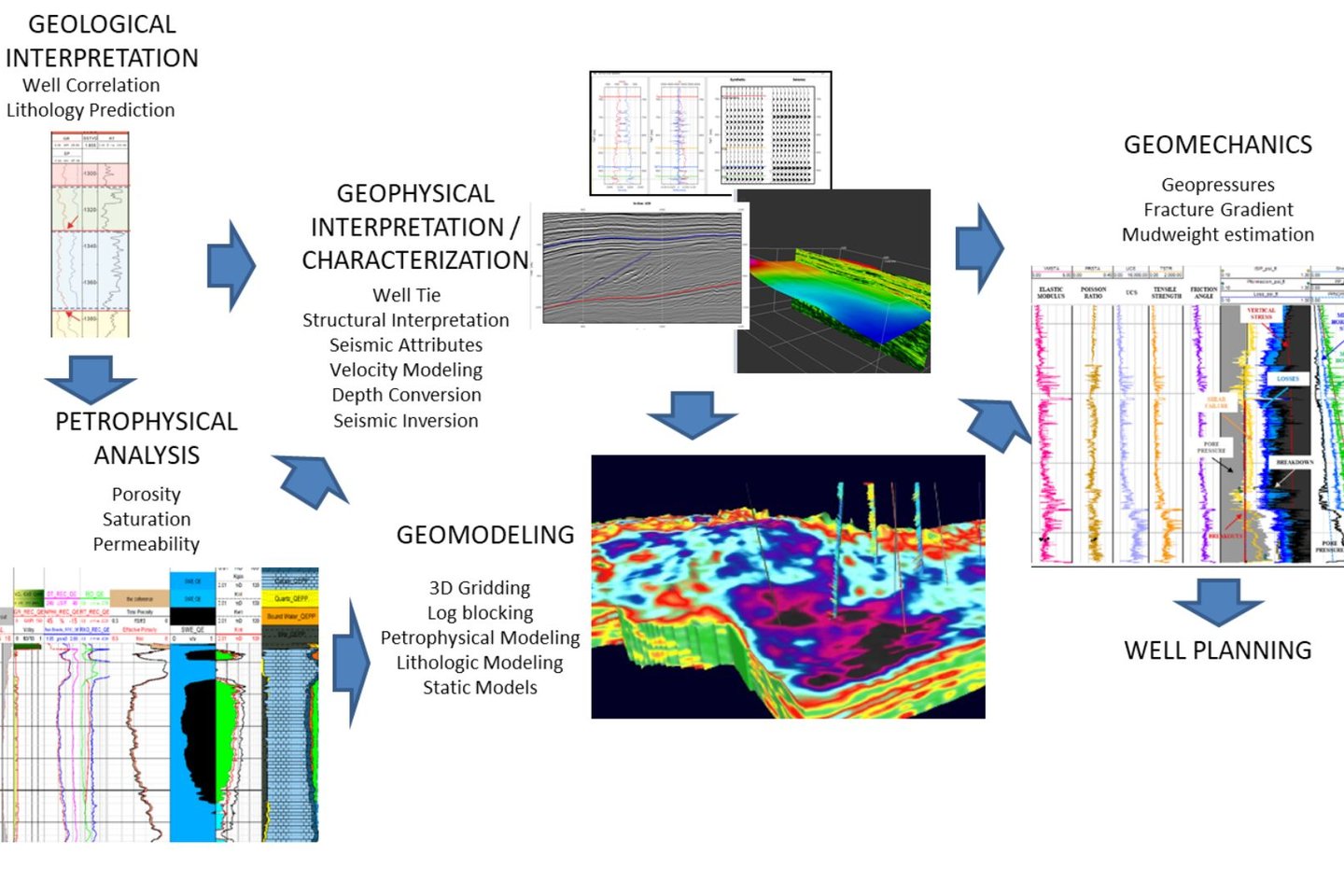
EXPLORATION GEOSCIENCE WORKFLOW
Integrated Subsurface Evaluation: From First Data to Drilling
The assessment of subsurface resources requires a comprehensive multidisciplinary workflow, integrating geologists, petrophysicists, geophysicists, geomechanics specialists, geomodellers, and well engineers. This collaborative approach ensures a consistent and technically sound transition from early-stage studies to final well planning and drilling.
Although primarily applied in O&G exploration, this workflow can also be effectively implemented in renewable projects.
🔹 1. Geological Analysis: The Starting Point
The process begins with the geologist, who interprets the first available datasets: regional geological reports, surface maps, satellite imagery, and outcrop data. Legacy drilling reports and well tests are also critical in defining the lithological framework, stratigraphy, and fluid contacts.
🔹 2. Petrophysical Interpretation: Quantifying the Subsurface
Petrophysicists work in parallel, focusing on the numerical interpretation of well logs. The initial step involves editing and normalizing log curves to correct acquisition inconsistencies, which is crucial for reliable interpretation. Once the data is quality-controlled, key petrophysical parameters are computed, and other properties such as elastic moduli and Total Organic Carbon (TOC). These curves serve as standardized inputs for the next stages of the workflow.
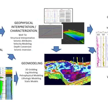
🔹 3. Geophysical Interpretation: Linking Wells to Seismic
Geophysicists use sonic (P-wave and S-wave) and density logs to perform well ties by generating synthetic seismograms. These are used to correlate well data with seismic data, enabling the interpretation of seismic events in a geological context. Seismic data conditioning (e.g., filtering, noise attenuation) is often applied to enhance data quality and interpretability. With improved seismic volumes, faults and horizons are interpreted to develop a robust structural framework. From this interpretation, and in conjunction with well data, a velocity model is generated.
🔹 4. Model Integration: From Time to Depth and Beyond
The velocity model serves as the foundation for several key outputs:
A low-frequency impedance model for model-based seismic inversion
A 3D porosity model for geomodelling
A 3D geomechanical model
This streamlined workflow provides a clear overview of the technical integration required in subsurface exploration. It enables more accurate, data-driven decisions in the estimation and development of energy resources.
📩 Need support with seismic interpretation or subsurface integration?
Let’s collaborate. Our team can help you maximize the value of your data throughout the exploration process.
hashtag#Geoscience hashtag#OilAndGas hashtag#SeismicInterpretation hashtag#Petrophysics hashtag#Geophysics hashtag#Geology hashtag#Geomodelling hashtag#Geothermal hashtag#Hydrogen hashtag#SubsurfaceIntegration hashtag#VelocityModel hashtag#EnergyExploration